


When will the rain finally stop in Eastern Florida? Here is when sunshine returns
JACKSONVILLE, Fla. (DUANEWS) — November 3, 2026 — After days of intense rainfall, flooded roads and dangerous weather conditions, residents across eastern Florida are finally seeing signs of improvement. From Jacksonville and Daytona Beach…
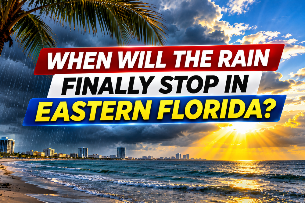
JACKSONVILLE, Fla. (DUANEWS) — November 3, 2026 — After days of intense rainfall, flooded roads and dangerous weather conditions, residents across eastern Florida are finally seeing signs of improvement.
From Jacksonville and Daytona Beach to Orlando, Melbourne, West Palm Beach and Miami, the question is the same: When will the rain end?
According to the latest forecasts from the National Weather Service and regional meteorologists, rain chances will gradually decrease Wednesday, with significantly drier conditions expected Thursday and Friday across much of Florida’s Atlantic coast.

However, the improvement will not arrive everywhere at the same time.
Jacksonville: Sunshine Returning Before the Weekend
Northeast Florida is already beginning to experience improving weather conditions.
Jacksonville could see a few passing showers Tuesday morning, but sunshine is expected to increase during the afternoon, with temperatures reaching approximately 81–82°F.
Wednesday should bring partly cloudy skies with only isolated showers, particularly farther inland.
By Friday, Jacksonville is expected to enjoy mostly sunny and mainly dry weather, with favorable conditions continuing through the weekend.
A cooler pattern could arrive early next week.
Daytona Beach, Melbourne and the Space Coast: Relief Is Coming
East Central Florida has experienced some of the most intense rainfall of the recent weather event.
Parts of Brevard County, including the Melbourne and Palm Bay areas, were hit particularly hard by repeated heavy downpours.
Rain chances across Central Florida remain around 50% to 60% Tuesday, with additional scattered showers possible Wednesday.
However, meteorologists expect a meaningful change beginning Thursday.
Drier air should move into the region, reducing rain chances to 20% or less Thursday and Friday.
The weekend is currently expected to be mostly dry.
Despite the improving forecast, flooding may continue in low-lying neighborhoods where water has accumulated.
West Palm Beach and Fort Lauderdale: Flooding Remains a Concern
Southeast Florida has also experienced extraordinary rainfall.
Some communities around Palm Beach County recorded more than a foot of rain during the recent storms, creating dangerous flooding conditions.
Additional showers and thunderstorms remain possible Tuesday and Wednesday.
Conditions should begin improving Thursday as the unsettled weather pattern weakens.
However, residents should remain cautious around flooded streets and drainage areas, even after rainfall ends.
Coastal flooding and dangerous rip currents also remain concerns along portions of the Atlantic shoreline.
Miami: Thursday Brings a Major Improvement
Miami residents should prepare for another unsettled day Tuesday, with a 50% chance of showers and thunderstorms.
Rain chances increase to approximately 60% Wednesday, with thunderstorms most likely before the afternoon.
The outlook changes considerably Thursday.
The National Weather Service forecasts sunny skies and a high near 84°F Thursday, followed by another sunny day Friday.
For Miami, Thursday currently appears to mark the beginning of a more sustained break from the rain.
Why Has Eastern Florida Experienced So Much Rain?
A combination of abundant tropical moisture, persistent onshore winds and atmospheric disturbances has contributed to repeated rounds of heavy rainfall.
Some areas experienced multiple storms moving over the same locations, allowing rainfall totals to accumulate rapidly.
The resulting flooding has affected roads, neighborhoods and low-lying communities.
As the atmospheric disturbance weakens and drier air moves into Florida, the threat of widespread heavy rainfall is expected to decrease.
When Will the Rain Stop? The Outlook
Tuesday, November 3: Scattered showers and thunderstorms continue, especially across Central and South Florida. Northeast Florida begins improving.
Wednesday, November 4: Rain becomes less widespread, although some areas may still experience showers and isolated thunderstorms.
Thursday, November 5: Drier weather becomes established across much of eastern Florida, with increasing sunshine.
Friday, November 6: Mostly sunny and mainly dry conditions are expected in many communities.
Saturday and Sunday, November 7–8: Much of eastern Florida is expected to experience improved weather, although local conditions may vary.
A Warning for Residents in Flooded Communities
Even as skies clear, floodwaters can remain dangerous.
Standing water may conceal damaged pavement, submerged objects or electrical hazards.
Residents should never drive through flooded roads and should continue following local emergency instructions.
Beachgoers should also check rip current warnings before entering the ocean, as hazardous surf conditions may persist after rainfall ends.
The Bottom Line
The long stretch of wet weather across eastern Florida is finally showing signs of ending.
Jacksonville should experience improving conditions first, while Orlando, Melbourne, West Palm Beach and Miami can expect a more noticeable break from the rain by Thursday.
For residents hoping to return to outdoor activities, Friday and the weekend currently offer some of the most promising weather conditions.
DUANEWS — Your News. Your Voice.
Conversation 0