


Jacksonville flood alert: Dangerous conditions could continue through Wednesday
JACKSONVILLE, Fla. — October 25, 2026. Jacksonville residents are facing an extended period of dangerous coastal weather as strong northeast winds, elevated tides and rough ocean conditions threaten flooding across parts of Northeast Florida.…
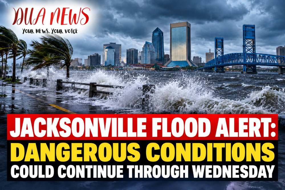
JACKSONVILLE, Fla. — October 25, 2026. Jacksonville residents are facing an extended period of dangerous coastal weather as strong northeast winds, elevated tides and rough ocean conditions threaten flooding across parts of Northeast Florida.
The National Weather Service has warned that coastal flooding could continue through early Wednesday, October 28, extending the period of concern beyond the weekend.
The greatest danger is expected around high tide, particularly in low-lying coastal communities and neighborhoods along the St. Johns River and Intracoastal Waterway.

Flooding Threat Extends Into the New Week
A powerful coastal weather pattern is pushing water toward Northeast Florida’s shoreline, creating conditions that could lead to moderate flooding in vulnerable areas.
Persistent northeast winds, combined with elevated astronomical tides, can prevent water from draining normally into the Atlantic Ocean.
As a result, water levels may remain unusually high even after individual high-tide cycles have passed.
The flooding threat is particularly concerning for neighborhoods that have experienced tidal flooding during previous coastal storms.
Although the system is not a named hurricane or tropical storm, its effects could still disrupt transportation, damage vulnerable coastal properties and create dangerous conditions near waterways.
Which Areas Face the Greatest Risk?
The most vulnerable locations include Jacksonville’s Atlantic beaches, communities along the Intracoastal Waterway and low-lying neighborhoods bordering the St. Johns River.
Areas such as San Marco, Riverside and other riverfront communities may experience flooding where water levels rise above normal tidal conditions.
Coastal roads, parking areas and properties near the waterfront could also be affected.
Residents should pay particular attention to conditions during morning and evening high tides, when elevated water levels may temporarily worsen.
Flooding severity will vary depending on local elevation, wind direction and rainfall.
Strong Winds and Dangerous Ocean Conditions
Flooding is only one of several hazards associated with the developing weather pattern.
Northeast wind gusts could reach approximately 35 to 45 mph in exposed coastal locations, creating difficult driving conditions and potentially bringing down tree limbs.
Along the beaches, large breaking waves and dangerous rip currents are expected to make swimming hazardous.
Beach erosion is another major concern, especially where repeated waves strike dunes and coastal infrastructure.
Officials are urging beachgoers to stay out of the ocean during dangerous surf conditions and avoid walking near unstable or eroded sections of shoreline.
Jacksonville Officials Continue Emergency Preparations
The City of Jacksonville has been coordinating emergency preparations as the weather system affects Northeast Florida.
The city’s Emergency Preparedness Division announced plans for partial activation of the Emergency Operations Center over the weekend to help monitor conditions and coordinate responses.
Emergency crews have also been preparing for potential flooding, blocked roads and water-related rescue situations.
Residents are encouraged to follow official announcements from the city, emergency management agencies and the National Weather Service.
Drivers should never attempt to cross flooded streets, even when the water appears shallow.
Could the Flooding Get Worse?
The extent of flooding will depend largely on how long strong northeast winds continue and how they coincide with high tides.
Additional rainfall could increase flooding in areas where drainage systems are already struggling with elevated water levels.
Even if winds gradually weaken, coastal water levels may take time to return to normal.
This means some neighborhoods could experience repeated periods of flooding over several tidal cycles rather than one isolated event.
Forecasts and warnings may change as meteorologists receive new observations.
What Residents Should Do Now
People living in flood-prone areas should monitor water levels near their homes and consider moving vehicles away from streets or parking areas that frequently flood.
Outdoor furniture, trash containers and other loose objects should be secured against strong winds.
Residents should also prepare for possible power interruptions and avoid contact with fallen electrical lines.
Anyone traveling near the coastline should check local road conditions before leaving home.
For official emergency updates, Jacksonville residents can visit JaxReady.com and monitor the National Weather Service.
When Will Conditions Improve?
The latest Sunday morning forecast indicates that coastal flood warnings could remain in effect into early Wednesday, October 28.
However, the precise timing of improvement will depend on changing winds, ocean conditions and tidal levels.
Dangerous rip currents and beach erosion could continue even after the highest flooding risk begins to decrease.
DUANEWS — Your News. Your Voice.
Conversation 0