


Tropical Storm Isaias could become a hurricane
Tropical Storm Isaias formed in the Gulf early Wednesday morning and is forecast to strengthen rapidly as it moves toward the northern Gulf Coast, putting parts of the Florida Panhandle on alert. According to…
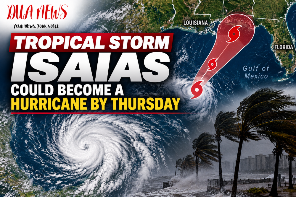
Tropical Storm Isaias formed in the Gulf early Wednesday morning and is forecast to strengthen rapidly as it moves toward the northern Gulf Coast, putting parts of the Florida Panhandle on alert.
According to the National Hurricane Center’s 4 a.m. CDT advisory Wednesday, Isaias had maximum sustained winds of 40 mph and was moving east-northeast at about 8 mph. The center of the storm was roughly 580 miles southwest of the mouth of the Mississippi River.
Rapid strengthening expected
The National Hurricane Center expects Isaias to strengthen considerably during the next couple of days.

The latest official intensity forecast has the storm reaching approximately 60 mph later Wednesday, becoming a hurricane with winds around 75 mph early Thursday, and potentially strengthening further to around 110 mph by early Friday while over the central Gulf. Forecast intensity can still change substantially before landfall.
If Isaias reaches hurricane strength, it would become the first hurricane of the 2026 Atlantic hurricane season.
Florida Panhandle remains at risk
The storm is expected to turn toward the northeast and then north Thursday and Friday, approaching the northern Gulf Coast on Friday.
The NHC says there is an increasing risk of dangerous winds and storm surge from Louisiana to the Florida Panhandle, and hurricane and storm surge watches will likely be needed for portions of the northern Gulf Coast later Wednesday.
Florida Governor Ron DeSantis has already declared a state of emergency in 25 counties as the state prepares for possible impacts.
Heavy rain and flooding also possible
From Friday through the weekend, Isaias could produce 3 to 6 inches of rain from southeastern Louisiana to the Florida Panhandle, with isolated totals reaching 10 inches.
The NHC warns that flash flooding, urban flooding and isolated river flooding will be possible.
Conversation 0