


Coastal flood warning issued for St. Johns River
Residents living along the St. Johns River are being urged to remain alert as elevated water levels and high tides increase the risk of coastal flooding in parts of Northeast Florida. The National Weather…
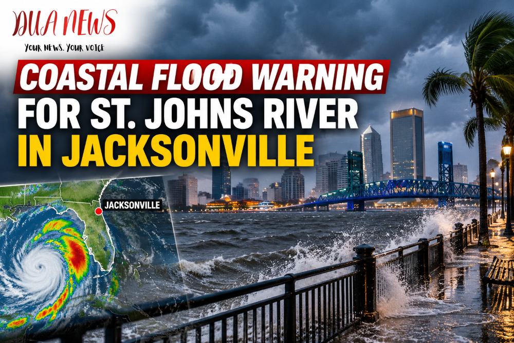
Residents living along the St. Johns River are being urged to remain alert as elevated water levels and high tides increase the risk of coastal flooding in parts of Northeast Florida.
The National Weather Service (NWS) in Jacksonville has issued a Coastal Flood Warning for portions of the St. Johns River, where tidal conditions could push water into low-lying areas.
High tides raise flooding concerns
The greatest concern is for neighborhoods, waterfront properties and roads near the river that are particularly vulnerable to rising water.

Even without a direct hurricane impact, prolonged onshore winds and high tides can slow the movement of water out of the St. Johns River, causing water levels to rise and potentially flooding areas near its banks.
Residents in flood-prone locations should avoid driving through flooded streets and keep vehicles away from areas where water commonly collects.
What residents should know
Flooding conditions can vary significantly depending on location, tide levels and wind direction. Some areas may experience standing water while nearby neighborhoods remain unaffected.
Drivers are reminded that even shallow floodwater can make roads dangerous, especially when the pavement underneath is not visible.
Residents should monitor updated forecasts and official alerts from the National Weather Service as conditions change.
Warning remains in effect through Thursday
According to the NWS advisory issued Wednesday, October 7, the Coastal Flood Warning covers the St. Johns River basin, including portions of Duval, Clay, Putnam and St. Johns counties.
The warning is scheduled to remain in effect until 5 p.m. Thursday, October 8, followed by a less severe Coastal Flood Advisory through 2 p.m. Saturday.
Forecasters say some locations could experience flooding approaching two feet above ground level, with the greatest impacts expected around high tide. Additional heavy rainfall is possible Friday and Saturday
Conversation 0