


Florida Panhandle faces hurricane threat: Everything you need to know
Communities across the Florida Panhandle are preparing for potentially dangerous weather as Tropical Storm Isaias strengthens in the Gulf of Mexico and moves toward the northern Gulf Coast. The storm is forecast to become…
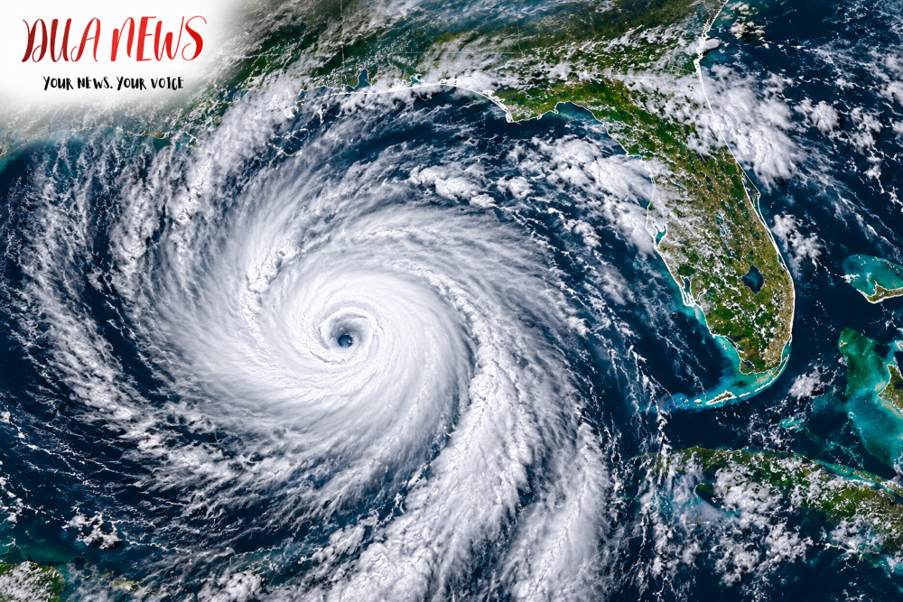
Communities across the Florida Panhandle are preparing for potentially dangerous weather as Tropical Storm Isaias strengthens in the Gulf of Mexico and moves toward the northern Gulf Coast.
The storm is forecast to become a hurricane on Thursday, with the possibility of reaching the northern Gulf Coast as a strong hurricane late Friday or early Saturday.
According to the National Hurricane Center, Isaias had maximum sustained winds of 65 mph Wednesday afternoon. Forecasters warned that continued strengthening could bring hurricane-force winds to portions of the Florida Panhandle.

Hurricane watches issued
A Hurricane Watch has been issued from Bay St. Louis, Mississippi, to Indian Pass, Florida, covering parts of the western Florida Panhandle.
A Storm Surge Watch also extends along a wider stretch of the Gulf Coast, including portions of Florida.
Forecasters warn that storm surge could push seawater into coastal communities, flooding roads, properties and other low-lying areas.
Some coastal locations between Ocean Springs, Mississippi, and Indian Pass, Florida, could experience storm surge reaching 5 to 7 feet above ground level if the highest surge coincides with high tide.
Heavy rainfall and flooding expected
The National Hurricane Center forecasts 3 to 6 inches of rainfall across portions of the northern Gulf Coast, including the Florida Panhandle, from Friday through the weekend.
Some locations could receive as much as 10 inches.
These rainfall totals could trigger flash flooding, urban flooding and rising water levels in rivers and streams.
Tornadoes and power outages possible
The Florida Division of Emergency Management has warned that the Panhandle faces an increasing threat of damaging winds, storm surge, heavy rainfall and tornadoes.
Strong winds could damage trees and power lines, potentially leaving communities without electricity for extended periods.
Residents are encouraged to prepare emergency supplies, secure outdoor objects and follow instructions from local emergency management officials.
Where will Isaias make landfall?
The exact landfall location remains uncertain.
Current forecasts indicate that areas between Mississippi and the Florida Panhandle face a significant threat, but changes in the storm’s track could shift the location of the strongest winds and coastal flooding.
The National Hurricane Center continues to monitor Isaias as it approaches the Gulf Coast.
Residents across Northwest Florida should follow official weather updates and be prepared for rapidly changing conditions.
Conversation 0