


Be careful tonight: Flooding possible in Miami
MIAMI, Fla. — October 17, 2026 — Residents across Miami and South Florida are being urged to remain cautious Saturday evening as heavy rain and thunderstorms threaten to cause localized flooding, particularly in low-lying…
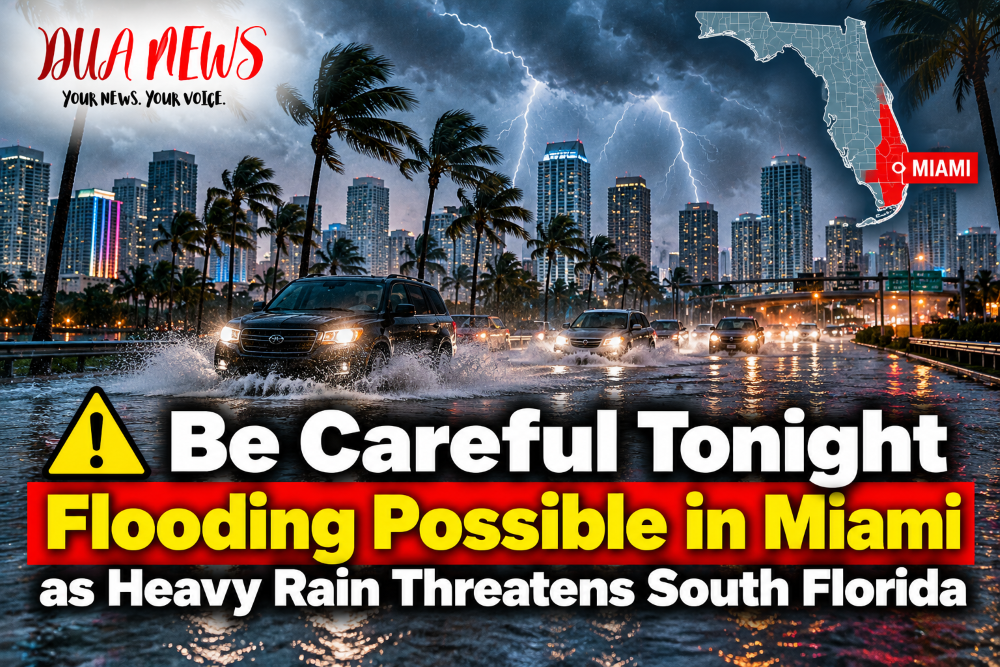
MIAMI, Fla. — October 17, 2026 — Residents across Miami and South Florida are being urged to remain cautious Saturday evening as heavy rain and thunderstorms threaten to cause localized flooding, particularly in low-lying neighborhoods and areas with poor drainage.
The National Weather Service in Miami has warned that periods of heavy rainfall could lead to urban flooding across portions of Miami-Dade, Broward and Palm Beach counties as a cold front moves through the region.
CBS News Miami has issued a NEXT Weather Alert for Saturday evening, warning that repeated rounds of thunderstorms could bring significant rainfall to some communities.

Forecasters expect widespread rainfall totals of 1 to 3 inches across South Florida through Sunday. However, some locations could receive 5 to 6 inches, with isolated totals potentially reaching 7 to 8 inches if thunderstorms repeatedly develop over the same area.
Coastal communities along and east of Interstate 95 are among the areas facing the greatest concern, particularly portions of Broward County extending into Miami-Dade and Palm Beach counties.
The National Weather Service issued a flood advisory for portions of Miami-Dade and Broward counties earlier Saturday. That advisory was scheduled to expire at 2:30 p.m. after heavy rainfall diminished in the affected area. However, additional showers and thunderstorms remain possible later in the day.
Meteorologists say saturated ground and overwhelmed drainage systems could increase the risk of street flooding, even during relatively short periods of intense rainfall.
Drivers are advised to avoid flooded roads, reduce their speed during heavy downpours and allow additional travel time. Authorities warn that water covering a roadway can be deeper than it appears, making it dangerous for motorists to attempt to drive through.
The changing weather pattern is also expected to bring strong winds and hazardous marine conditions. Northeasterly winds could produce gusts reaching approximately 35 mph on land, while rough seas and dangerous rip currents are expected along Atlantic beaches.
Beachgoers and boaters are encouraged to monitor official warnings before entering the water.
Rain and thunderstorms could continue into early Sunday, although conditions are expected to improve later in the day as the cold front moves south of the region.
Residents should monitor updates from the National Weather Service and local emergency management agencies, particularly if they live in flood-prone neighborhoods.
While widespread flooding is not guaranteed, the potential for intense rainfall makes Saturday evening an important time for residents to remain alert.
Conversation 0