


Everything you need to know for Thursday: Hurricane threat, heavy rain and flooding across Florida
Ervin Shkulaku/DUANEWS.NET Florida is facing a complicated weather situation as a strengthening tropical storm approaches the northern Gulf Coast while heavy rainfall, coastal flooding and dangerous beach conditions affect other parts of the state.…
Ervin Shkulaku/DUANEWS.NET
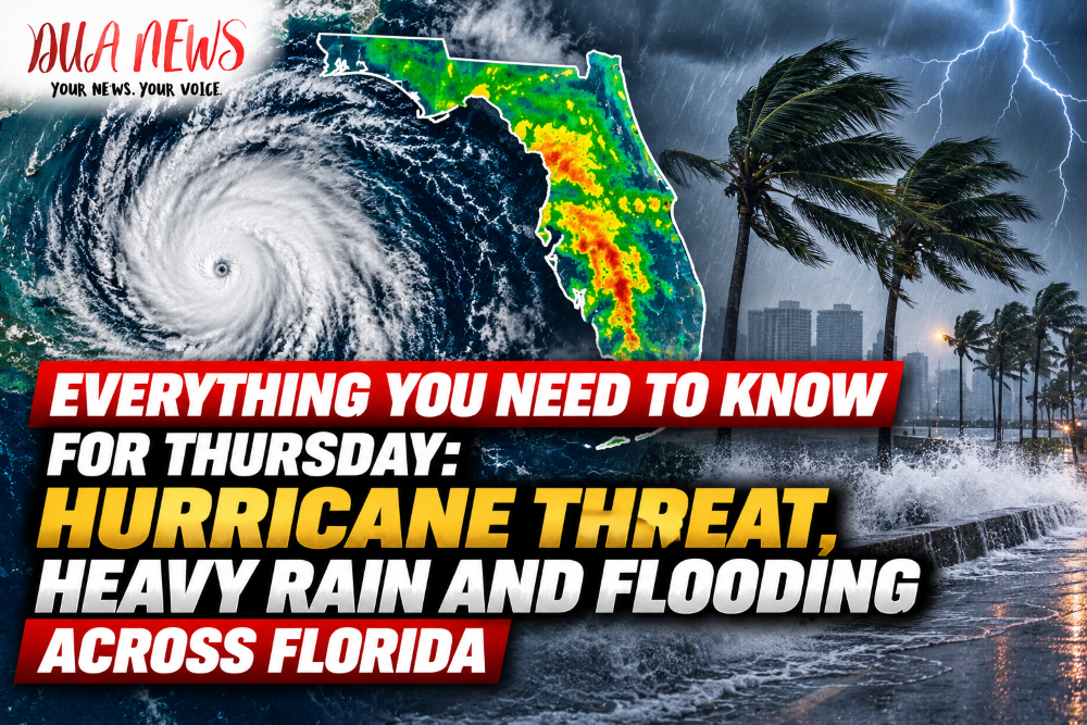
Florida is facing a complicated weather situation as a strengthening tropical storm approaches the northern Gulf Coast while heavy rainfall, coastal flooding and dangerous beach conditions affect other parts of the state.
From Pensacola and Panama City to Jacksonville, Orlando, Tampa and Miami, residents are dealing with different weather threats.

The most serious tropical cyclone concern is in Northwest Florida, where Tropical Storm Isaias could bring damaging winds, heavy rain, storm surge and tornadoes later this week.
Meanwhile, other regions are experiencing persistent rain and unusually high tides, with flooding already a concern in several communities.
Pensacola and Destin: Preparing for a Possible Hurricane
Northwest Florida is watching Tropical Storm Isaias closely as it moves across the Gulf of Mexico.
As of Wednesday evening, the National Hurricane Center reported maximum sustained winds of 65 mph, with additional strengthening expected.
The storm could become a hurricane Thursday before approaching the northern Gulf Coast late Friday or early Saturday.
Pensacola, Destin and surrounding coastal communities could experience strong winds, dangerous surf, heavy rainfall and coastal flooding.
The exact severity of those impacts will depend on the storm’s track and intensity.
Residents should prepare for possible power outages and monitor local emergency announcements.
Panama City and Mexico Beach: Wind and Storm Surge Threat
Panama City, Panama City Beach and Mexico Beach are among the communities included in hurricane and storm surge watches.
The National Weather Service warns that tropical-storm-force winds could begin affecting parts of the area Friday afternoon and continue into early Saturday.
Coastal flooding is another major concern, particularly in low-lying neighborhoods near bays, beaches and waterways.
Heavy rainfall could also overwhelm drainage systems and create dangerous driving conditions.
Officials are urging residents to review hurricane preparedness plans before conditions deteriorate.
Tallahassee: Heavy Rain and Tornadoes Possible
Florida’s capital is also monitoring the approaching tropical system.
Forecasters expect periods of heavy rainfall across portions of North Florida as tropical moisture spreads inland.
The National Weather Service has warned that parts of the region could receive 3 to 6 inches of rain, with isolated locations potentially seeing totals near 10 inches.
Such rainfall could lead to flash flooding, particularly in urban areas and locations with poor drainage.
Tornadoes are another potential hazard as the storm approaches, although the exact locations and timing remain uncertain.
Jacksonville: St. Johns River Flooding Remains a Concern
Jacksonville is dealing with a different weather threat.
Persistent northeast winds, high tides and repeated rainfall have raised water levels along the St. Johns River and other coastal waterways.
The National Weather Service has issued a Coastal Flood Warning for parts of the St. Johns River basin, including the stretch from downtown Jacksonville toward Lake George.
The warning is expected to continue through Thursday afternoon, with coastal flood advisories affecting other waterfront areas into Saturday.
Low-lying roads, waterfront neighborhoods and areas along the Intracoastal Waterway are particularly vulnerable.
Dangerous rip currents, rough surf and beach erosion are additional concerns at Jacksonville Beach, Atlantic Beach and Neptune Beach.
St. Augustine and Vilano Beach: High Tides Add to Flooding Risk
In St. Johns County, emergency responders are monitoring the combination of heavy rain, strong winds and exceptionally high tides.
At Vilano Beach, rising water and rough coastal conditions have already prompted concern.
Flooding could become more noticeable during high tide, especially along waterfront roads and areas that regularly experience tidal flooding.
Residents and visitors should avoid entering flooded streets and pay attention to beach safety warnings.
Orlando: Another Round of Heavy Rain
Central Florida is experiencing an extended period of wet weather.
The National Weather Service forecasts additional showers and thunderstorms in Orlando, with locally heavy rainfall possible.
Rain chances remain elevated Thursday, and repeated downpours could create standing water on roads and localized flooding.
Drivers should use caution during periods of reduced visibility and avoid flooded intersections.
The main concern for Orlando is rainfall rather than a direct hurricane strike.
Daytona Beach and Melbourne: Dangerous Beach Conditions
Along Florida’s east-central coast, including Daytona Beach, Cocoa Beach and Melbourne, persistent moisture is bringing repeated showers and occasional thunderstorms.
The National Weather Service has highlighted dangerous rip currents along Volusia and Brevard county beaches.
Strong currents can develop even when weather conditions appear relatively calm.
Beachgoers should follow lifeguard instructions and avoid swimming in areas where warning flags are posted.
Forecasters expect the main impacts from Isaias to remain well west of East Central Florida, although the region may continue experiencing unsettled weather.
Tampa and Clearwater: Rain, Rough Seas and Coastal Flooding
The Tampa Bay region is expected to experience additional rounds of showers and thunderstorms as tropical moisture moves across the state.
Forecasters say locally heavy rainfall could cause minor flooding in urban and low-lying areas.
Dangerous marine conditions are also expected, with rough seas and an increased risk of rip currents along Gulf Coast beaches.
While Tampa is not currently expected to experience the storm’s strongest winds, residents should remain alert for changes in the forecast.
Cedar Key and the Nature Coast: Storm Surge Concerns
The Nature Coast faces a more significant coastal flooding threat.
According to the National Weather Service, parts of Levy County could experience coastal water levels reaching 2 to 4 feet above normally dry ground during Friday and Saturday.
Farther south, portions of Pasco County could see coastal flooding of approximately 1 to 3 feet.
These forecasts remain subject to change depending on the storm’s path, winds and timing of high tides.
Waterfront communities should monitor official storm surge updates closely.
Miami and Fort Lauderdale: Thunderstorms and High Tides
South Florida is also dealing with unsettled weather, although the main hurricane threat is focused farther north.
Miami, Fort Lauderdale and surrounding communities face scattered showers and thunderstorms, with some storms capable of producing heavy downpours.
Localized street flooding is possible, especially where rain falls rapidly over already wet ground.
High tides are creating an additional concern for low-lying coastal neighborhoods.
The National Weather Service warns that minor saltwater flooding is possible around high tide along portions of South Florida’s Atlantic coast.
Temperatures remain warm, with afternoon highs approaching the upper 80s.
West Palm Beach: Rain and Coastal Flooding
West Palm Beach and nearby coastal communities could also experience scattered thunderstorms and minor tidal flooding.
Drivers should remain alert for water accumulating on roads during intense showers.
Residents near the coast should pay attention to local flood statements, particularly around high tide.
Fort Myers and Naples: More Rain Expected
Southwest Florida remains under the influence of a moist and unsettled weather pattern.
Scattered showers and thunderstorms are possible through the end of the week, with locally heavy rain in some locations.
Coastal and marine conditions could also become hazardous as the tropical system moves through the Gulf.
Residents should continue monitoring local forecasts, especially before boating or visiting Gulf beaches.
Key West and the Florida Keys: Monitor Marine Conditions
The Florida Keys are not the focus of the projected northern Gulf Coast landfall.
However, changing winds, scattered thunderstorms and marine conditions can still affect boating and other outdoor activities.
Visitors and residents should check the latest National Weather Service marine forecasts before heading onto the water.
What Happens Next?
Thursday will be an important day for forecasters tracking Isaias.
The storm is expected to strengthen while moving toward the northern Gulf Coast, with the most significant impacts potentially arriving Friday and Saturday.
Meanwhile, Jacksonville and Northeast Florida will continue monitoring coastal flooding, while Central and South Florida face additional showers, thunderstorms and localized flooding risks.
Because tropical systems can change direction and intensity, residents should not rely on a single forecast.
The National Hurricane Center and local National Weather Service offices will continue issuing updates as conditions develop.
For Floridians across the state, the most important message is to understand the specific threats affecting their communities and follow official warnings.
DUANEWS will continue following weather developments across Florida.
Conversation 0