


Monday begins with a Flood Watch in Northeast Florida
Monday is starting wet across Northeast Florida, with a Flood Watch in effect as another round of heavy rain threatens Jacksonville and surrounding communities. The National Weather Service in Jacksonville has extended the Flood…
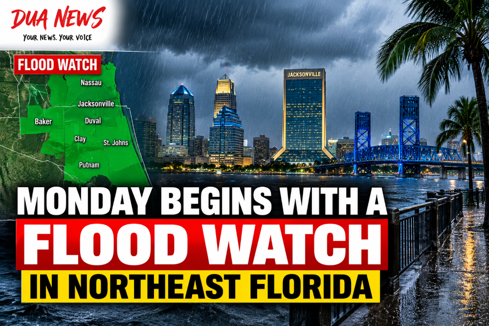
Monday is starting wet across Northeast Florida, with a Flood Watch in effect as another round of heavy rain threatens Jacksonville and surrounding communities.
The National Weather Service in Jacksonville has extended the Flood Watch through 8 p.m. Monday for parts of Northeast Florida and Southeast Georgia.
In Florida, the watch includes portions of Duval, Baker, Nassau, Hamilton and Columbia counties.

Forecasters say the main concern is additional heavy rainfall falling on ground that is already partially saturated from recent storms.
That means new downpours could quickly lead to flooding, particularly in urban areas, neighborhoods with poor drainage and other locations that are normally vulnerable to rising water.
Jacksonville is among the communities included in the watch.
Rain and thunderstorms are expected to become more widespread as Monday progresses, with the greatest coverage developing during the afternoon and evening.
The National Weather Service forecast for Jacksonville calls for an 80% chance of precipitation Monday, with showers and thunderstorms becoming more likely after 2 p.m. Temperatures are expected to remain near 80 degrees.
And Monday may only be the beginning of a very wet week.
Several inches of additional rain could fall across Northeast Florida through Tuesday, increasing the risk of localized flooding each day.
Some forecasts indicate the Jacksonville area could receive between 5 and 7 inches of rain through Saturday morning, with isolated locations potentially receiving more than 10 inches over the course of the week.
Conditions along the coast could also become more dangerous beginning Tuesday.
The National Weather Service expects strengthening northeast winds, rough surf and dangerous rip currents. Moderate tidal flooding could also become possible along the Atlantic coast, Intracoastal Waterway and portions of the St. Johns River basin.
Drivers should be especially cautious during periods of heavy rain.
Water can rise quickly on low-lying roads, and it can be difficult to determine how deep floodwater is from inside a vehicle. Motorists should never attempt to drive through a flooded roadway.
For Northeast Florida, the message heading into Monday is simple: keep the umbrella nearby, watch the roads and be prepared for more rain.
Conversation 0